
Highlights from 2025 National Tropical Weather Conference
As part of KIII TV series of Alan Holt’s interviews at the 2025 National Tropical Weather Conference CBI’s, Dr. Tissot discussed his talk on AI and Weather with Alan on April 4th:
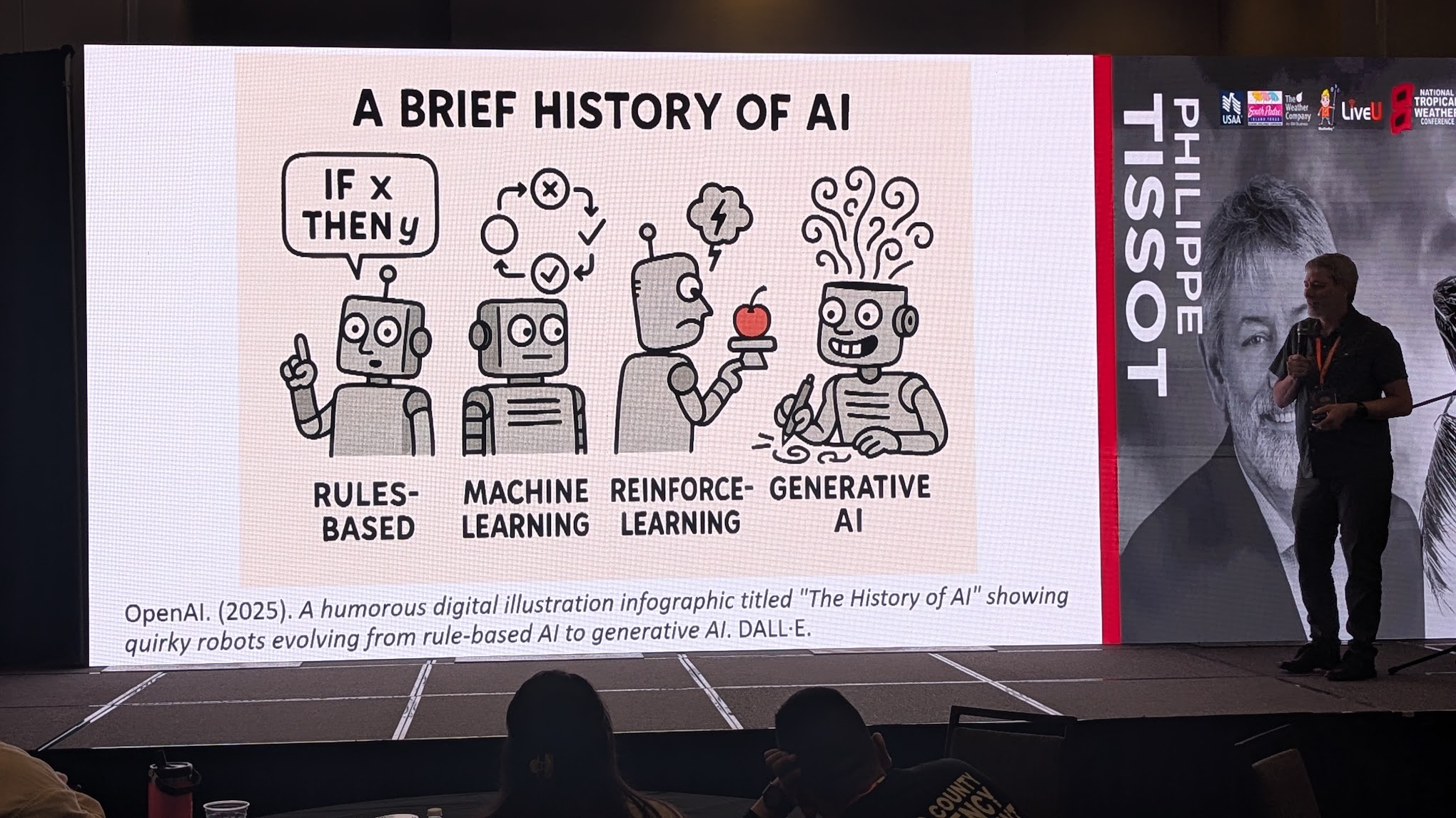
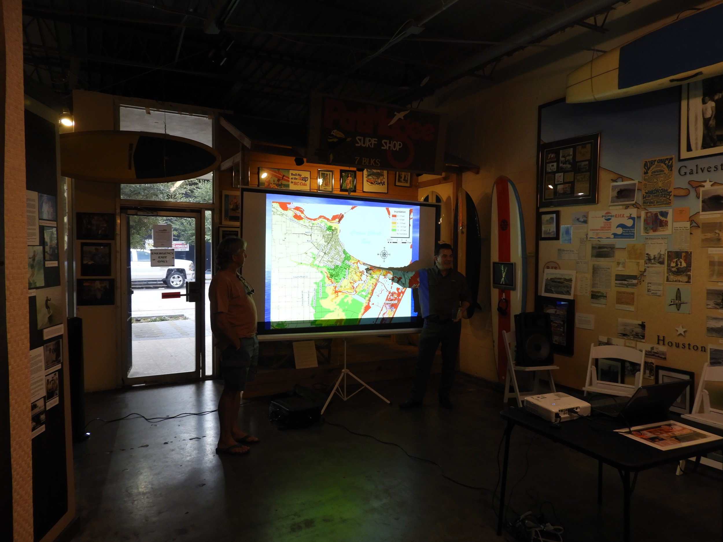
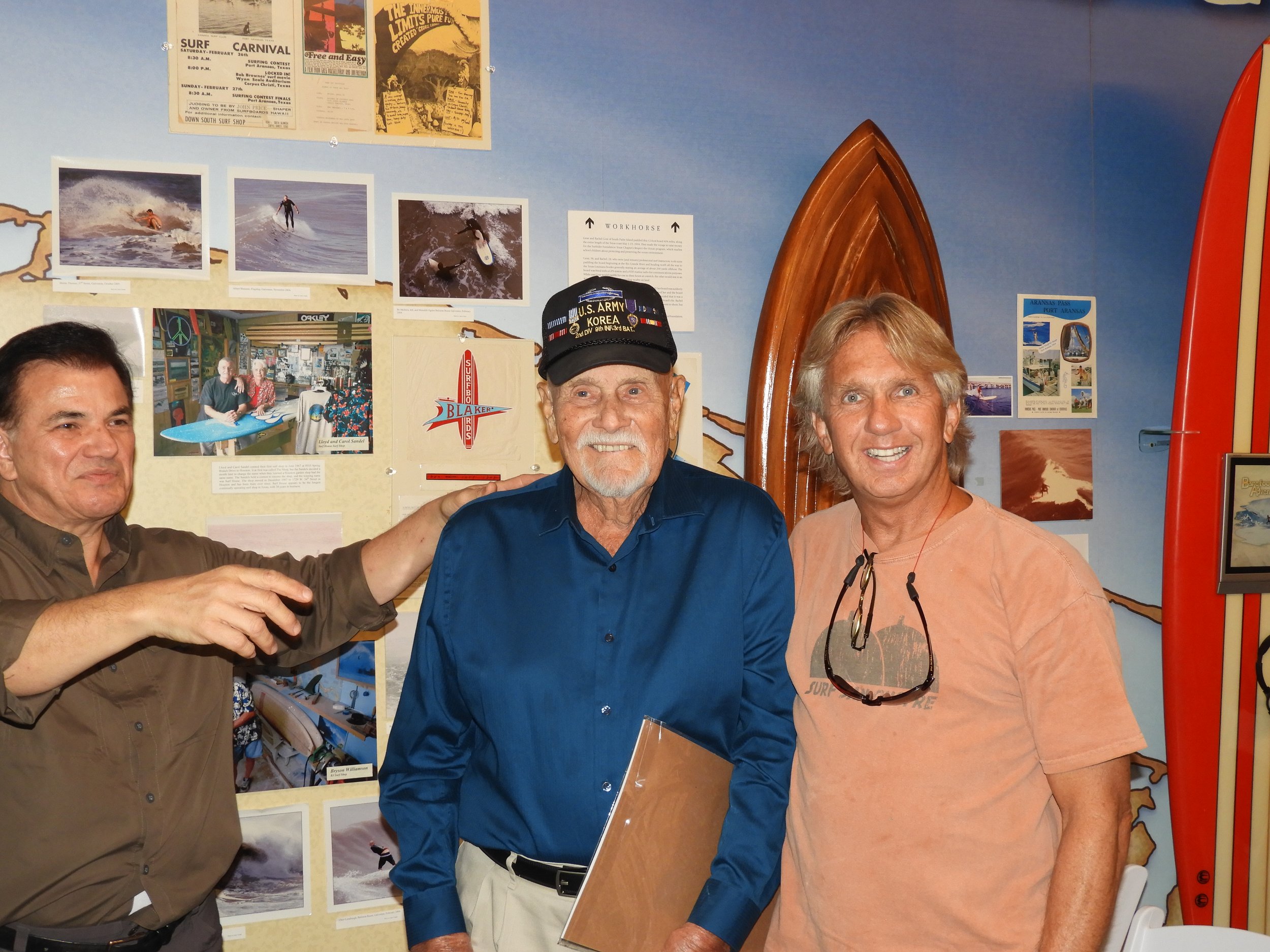
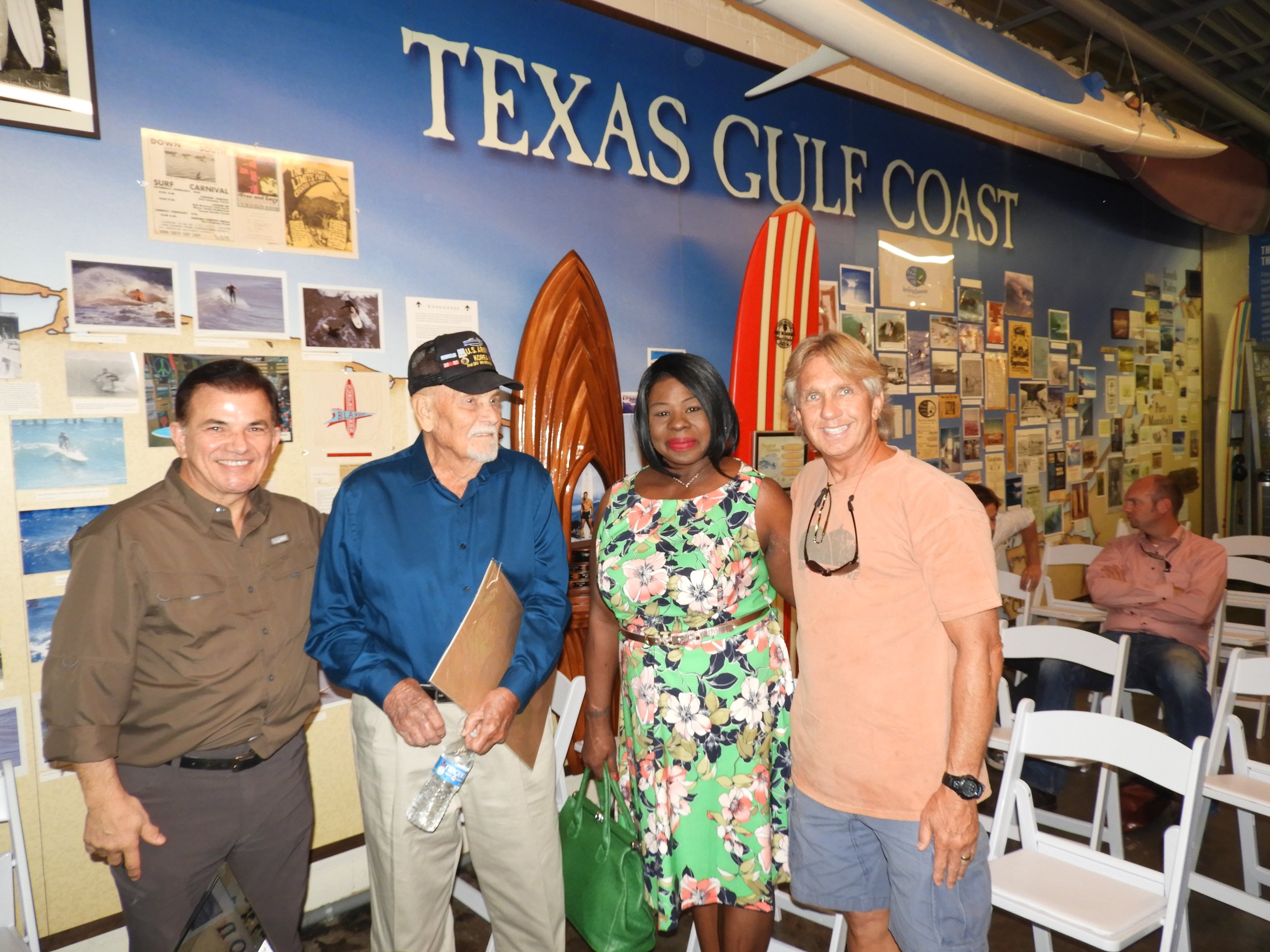
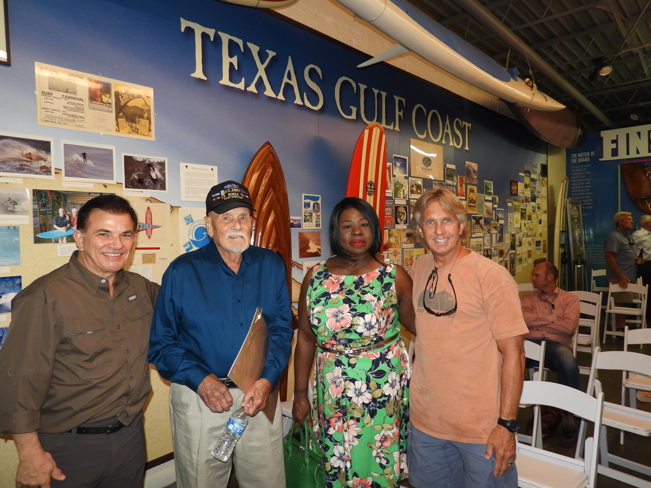
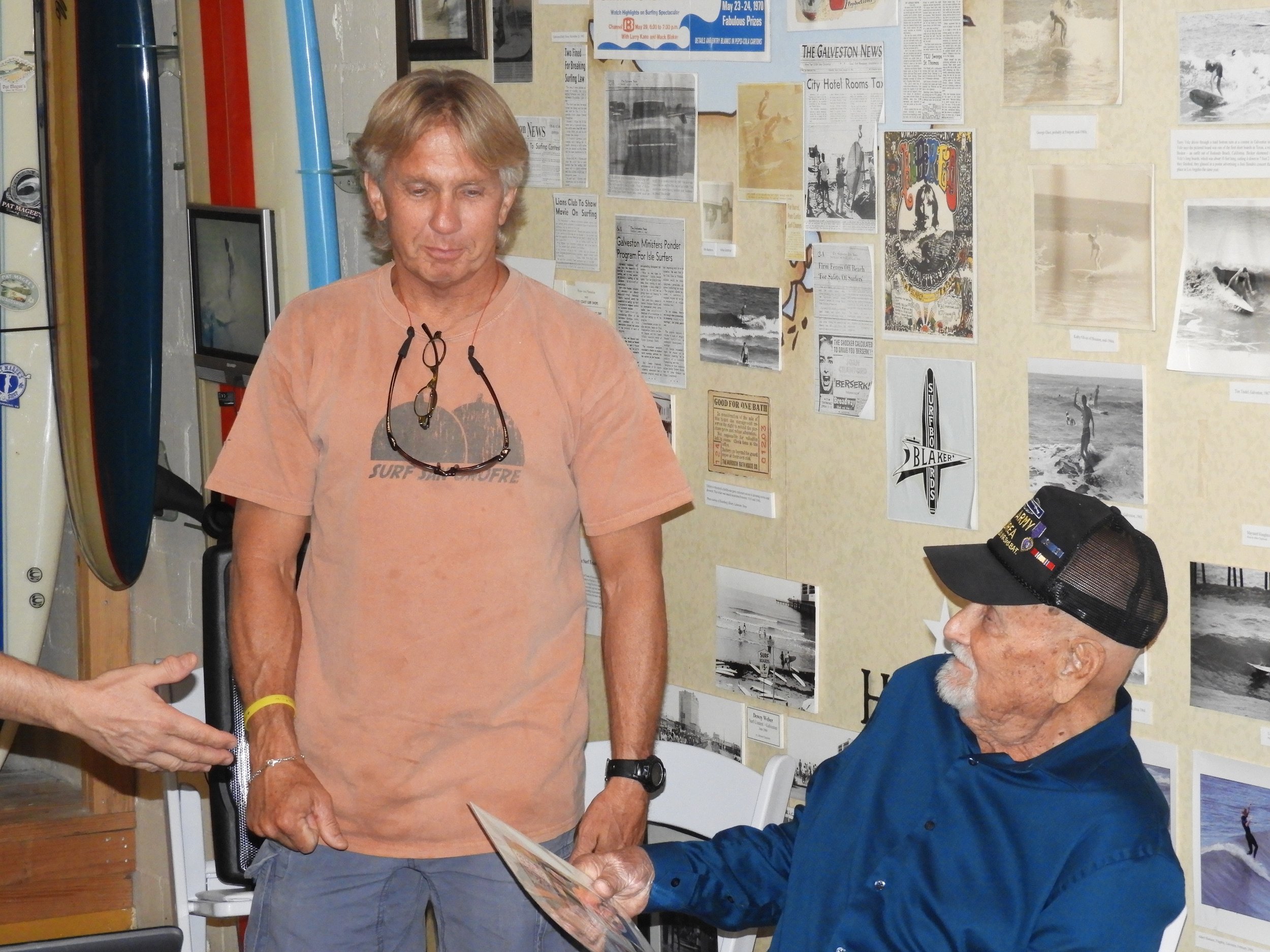
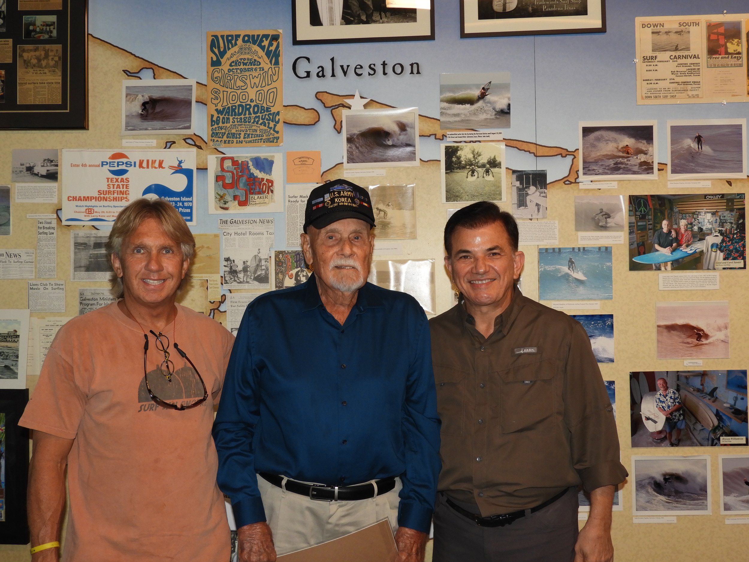
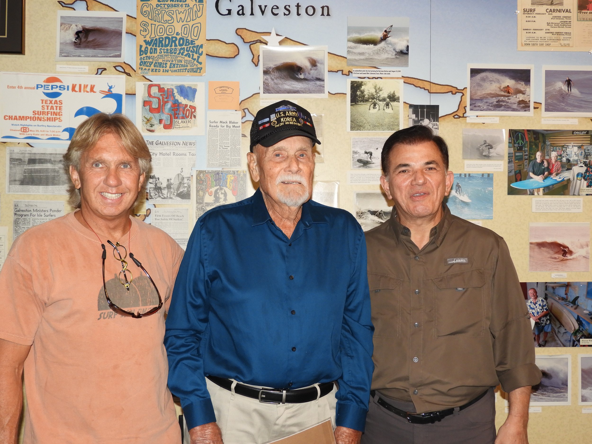
Dr. Tissot spent the start of April at the 2025 National Tropical Weather Conference in South Padre Island, Texas, where he was one of the invited speakers. He joined hurricane and tropical weather experts from the National Hurricane Center, members of the broadcast community, scientists studying hurricane, storm surge, the impact of climate change and a group of well-organized and technologically savvy storm chasers providing invaluable insights and footage of what happens on the ground and in the air during these large storms. Dr. Tissot shared CBI recent results as part of the NSF AI institute AI2ES.org and how CBI has worked for 25 years on designing and deploying AI models predicting coastal processes from water levels and storm surges to fog, lightning, and sea turtle cold stunnings. The talk also went over a brief history AI, how AI works for environmental predictions, and an overview of the new generative AI models that may be changing how we are predicting weather. This included the recent performance of Google’s GraphCast predicting the track of 2025 Tropical Cyclone Alfred. Listen to the interview of AI2ES Director Amy McGovern. The history of AI was a little more sophisticated than in the photo below but who can resist asking ChatGPT for illustrations (as long as one checks the content!). The talk ended by recommending that scientists and professionals from various background work together from the ground up to develop AI environmental models, goal that the NSF AI2ES AI Institute recently emphasized in a 2024 Nature Natural Hazards paper: Finally, a big thank you to Brownsville Warning Coordination Meteorologist Barry Goldsmith for taking the pictures and for the great conversations including with Brownsville NWS meteorologists Rodney Chai and Amber McGinnis.
Introductory slide to the AI history part of the talk. Who can resist using Large Language Models (LLMs) to illustrate a talk?
A slide on the progression of the number of talks at American Meteorological Society (AMS) AI conference organized by the AMS AI committee that Dr. Tissot led for several years. The graph shows how AI has grown rapidly since 2017 in our field. And stay put for an updated graph showing the progression of the AI Methods that one of Dr. Tissot’s students is working on.

Dr. Tissot shared a recent development in the use of AI for the prediction of tropical cyclone, the excellent performance of Google’s GraphCast model predicting the track of Feb 20-March 4 Tropical Cyclone Alfted.

CBI AI2ES Team Returns from New Orleans and Celebrates Accomplishments from first 4.5 years of AI2ES AI Institute

A large group of CBI AI2ES students and faculty spent a week in New Orleans for the 2025 American Meteorological Society Conference and an AI2ES workshop.
The team of 18 (also dubbed by some at AI2ES as “the army”), gave 13 oral, panel, and poster presentations. Additionally Dr. Starek presented Dr. Pashaei’s and his work. There was a large contingent of TAMUCC Atmospheric Science students and faculty. The presence of TAMUCC was felt in New Orleans!
We are also in the middle of our fifth and last year. AI2ES is one of the inaugural National Science Foundation (NSF) AI Institutes, a $20 million grant important to the US AI strategy originally announced at the White House in August 2020. TAMUCC was the only R2 PI or Co-PI institution for the initial group of awardees. The team of students and faculty has been very productive with a national impact. The team was headed by four outstanding former and present PhD students, Drs. Vicens-Miquel, Krell, Kamangir and PhD Candidate White along with several MS students and many undergraduate researchers at TAMUCC and Del Mar College. Faculty members King, Medrano, Starek and research scientist Williams, chaired, co-chaired, and participated to the students advising committees and publications. The team, along with its AI2ES partners in academia, government, and private sector, has been leading on the design and implementation of Deep Learning and other AI models for environmental emergency situations such as fog, coastal inundations, and cold stunnings. The team has also clarified the limitations of Explainable AI (XAI) for geoscience data sets and is providing growing insights into how stakeholders interact with AI predictions while developing AI uncertainty quantifications and visualization methods.
Some of the accomplishments of the CBI AI2ES team include:
31 peer reviewed publications as first authors and co-authors including in Nature Natural Hazards and Physics Today.
149 presentations including 95 with CBI students as first authors and 10 student presentation awards including two first place awards AMS AI conferences.
Supported 34 undergraduates, 7 graduate students
Knowledge/Technology transfer: our sea turtle cold-stunning method is operational (https://cbigrid.tamucc.edu/tpw/) and guided the coastal community during 5 cold stunning events including last week. 5 water level and 1 run up prediction models are also operational (e.g. https://sherlock-prod.tamucc.edu/cbocp/magnolia-beach.html)
The team installed 6 new low-cost water level sensors in collaboration with Texas Sea Grant and 4 water temperature sensors in collaboration with NOAA Fisheries, the Texas Mid-Coast Sea Turtle Rescue, and Texas Parks and Wildlife
The team is developing the software Semaphore helping to speed up the deployment of AI models and is freely available on GitHub.
The cold stunning model predictions are presently shared with a group now reaching over 140 stakeholders from local, state, federal agencies and volunteer groups guiding the decision making and preparation ahead of cold stunning events including the timing of interrupting navigation and dredging in the impacted water body. The model has been guiding mitigation efforts twice this month.
The AI2ES team worked over the past year on a renewed vision for the next 5 years and just submitted its renewal proposal. We are crossing our fingers for another 5 years and working on finishing strong the first phase of AI2ES.
Surviving Hurricane Celia
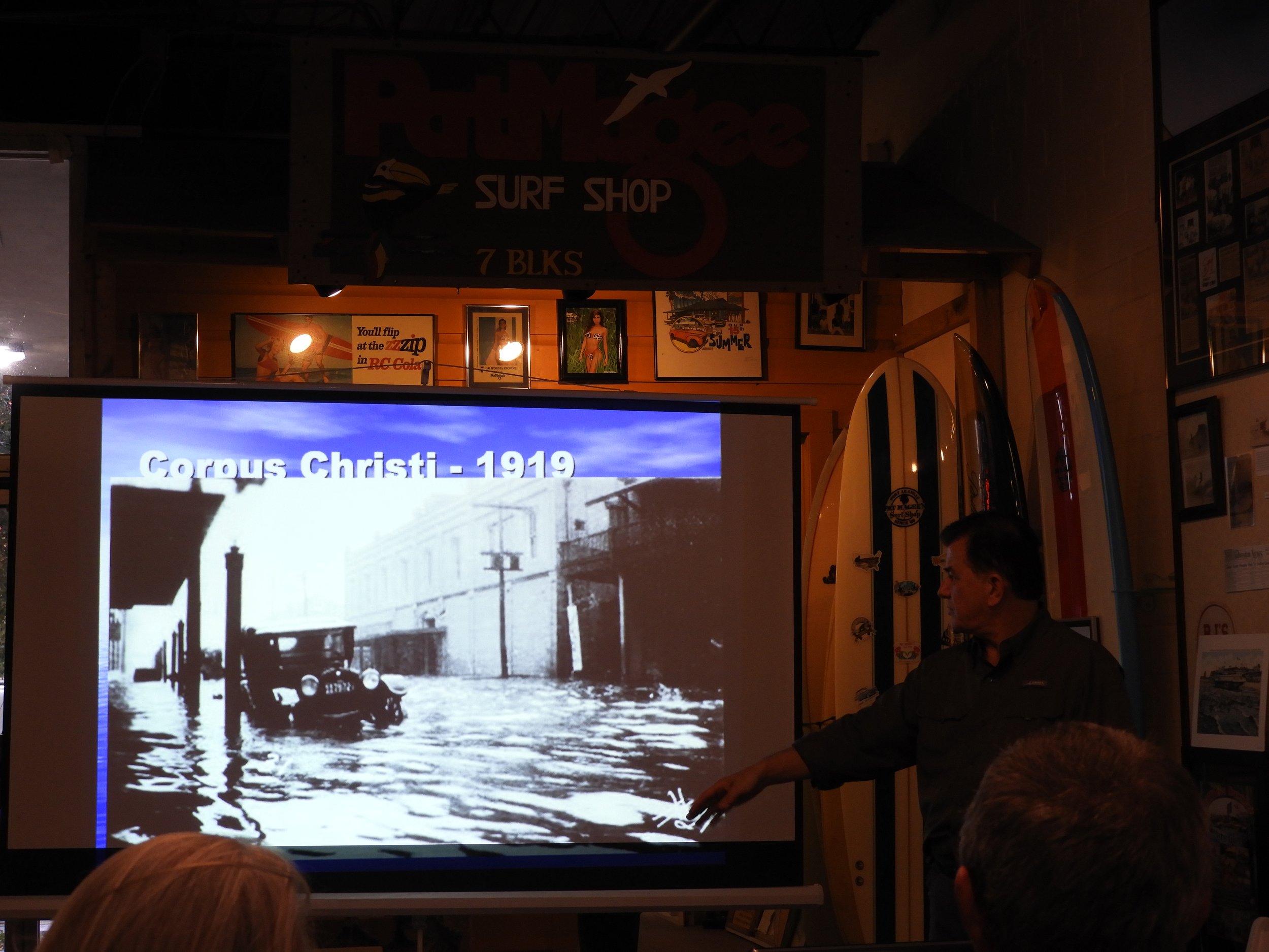
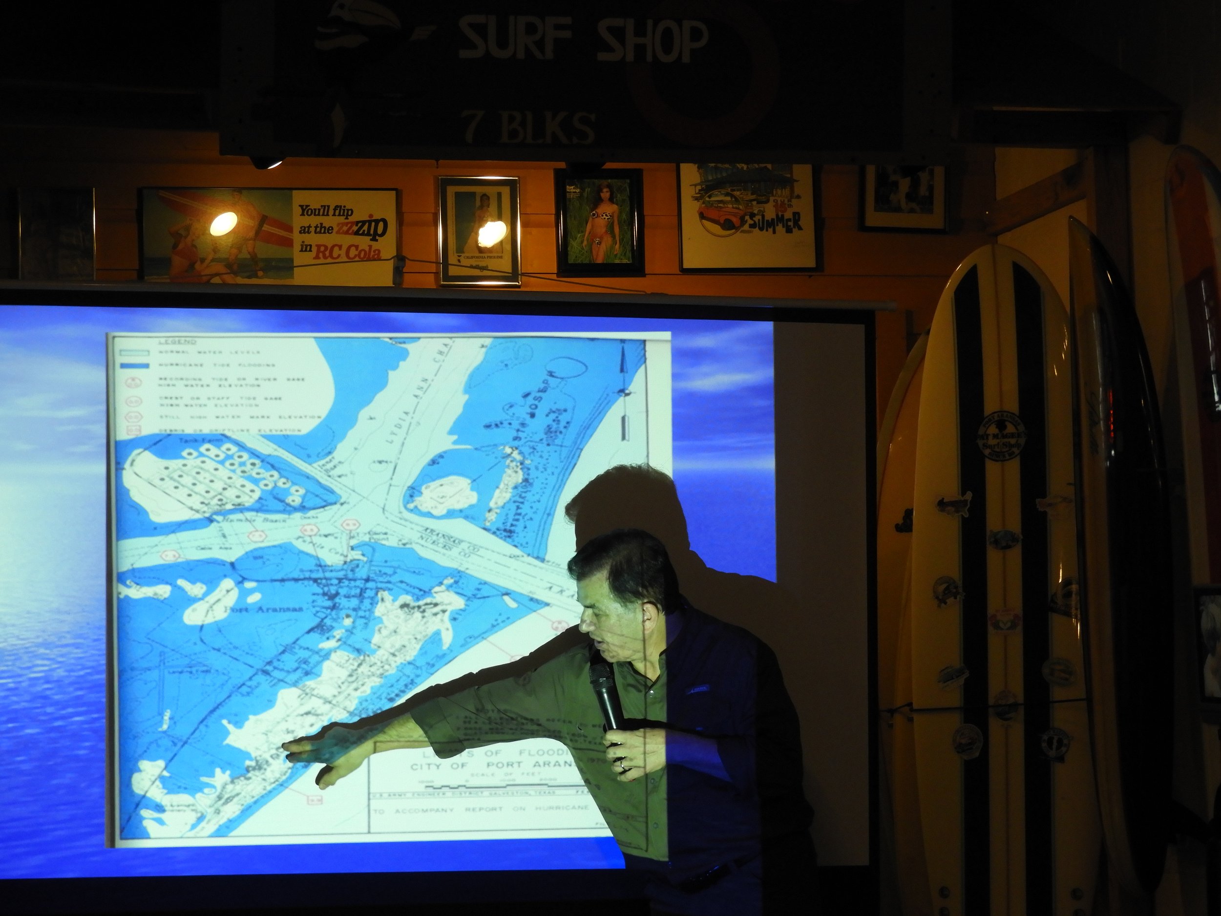
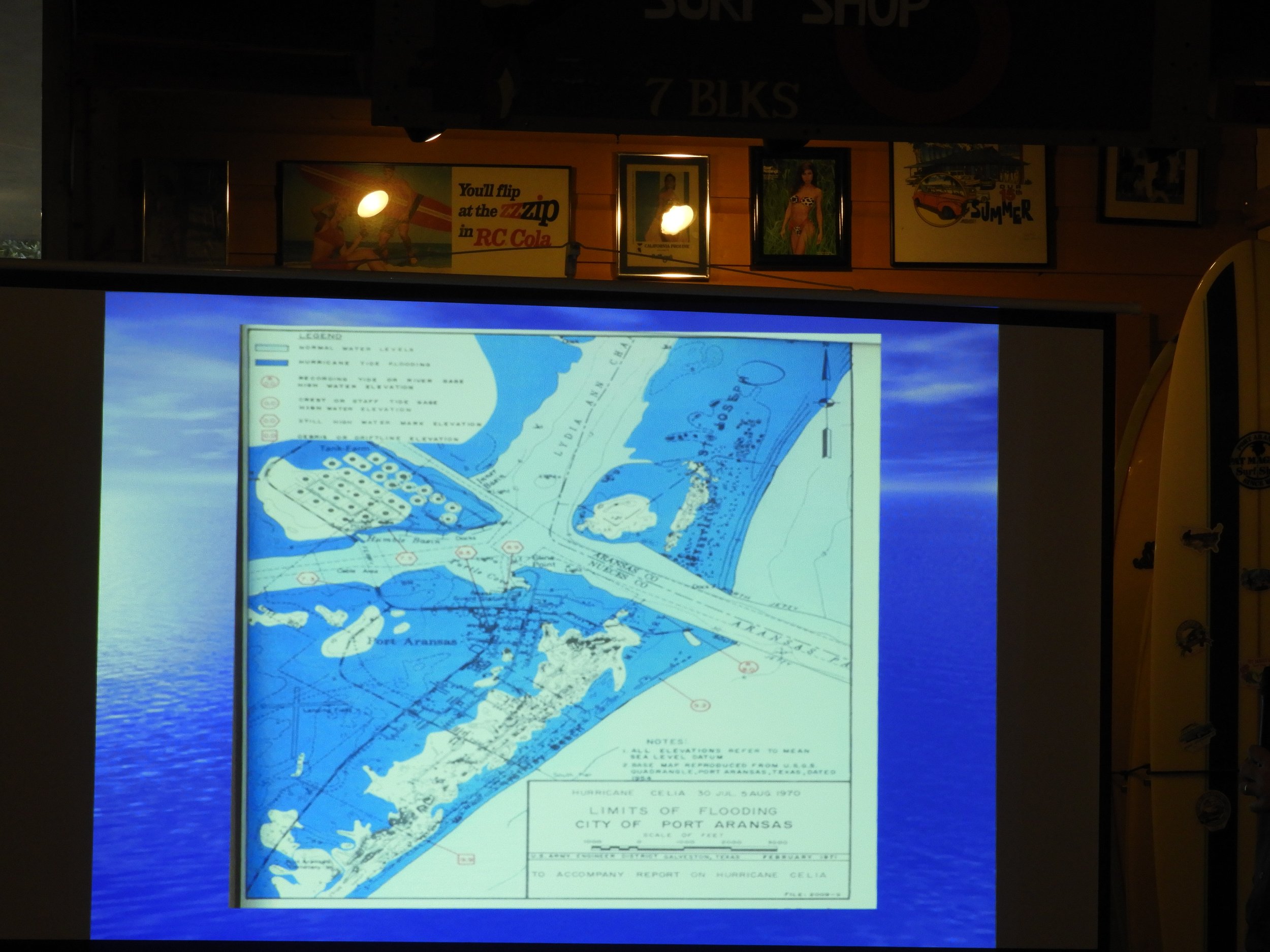
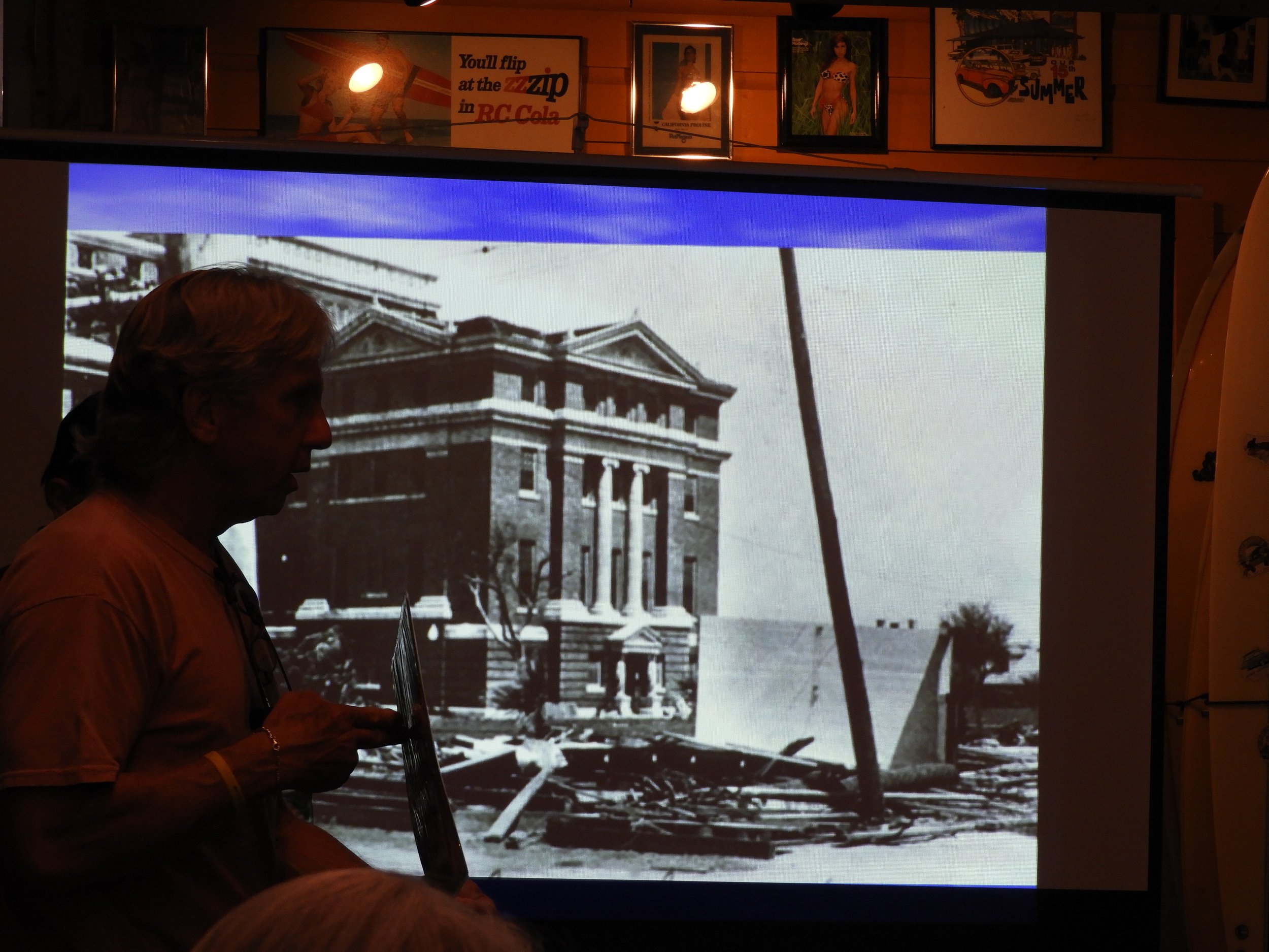
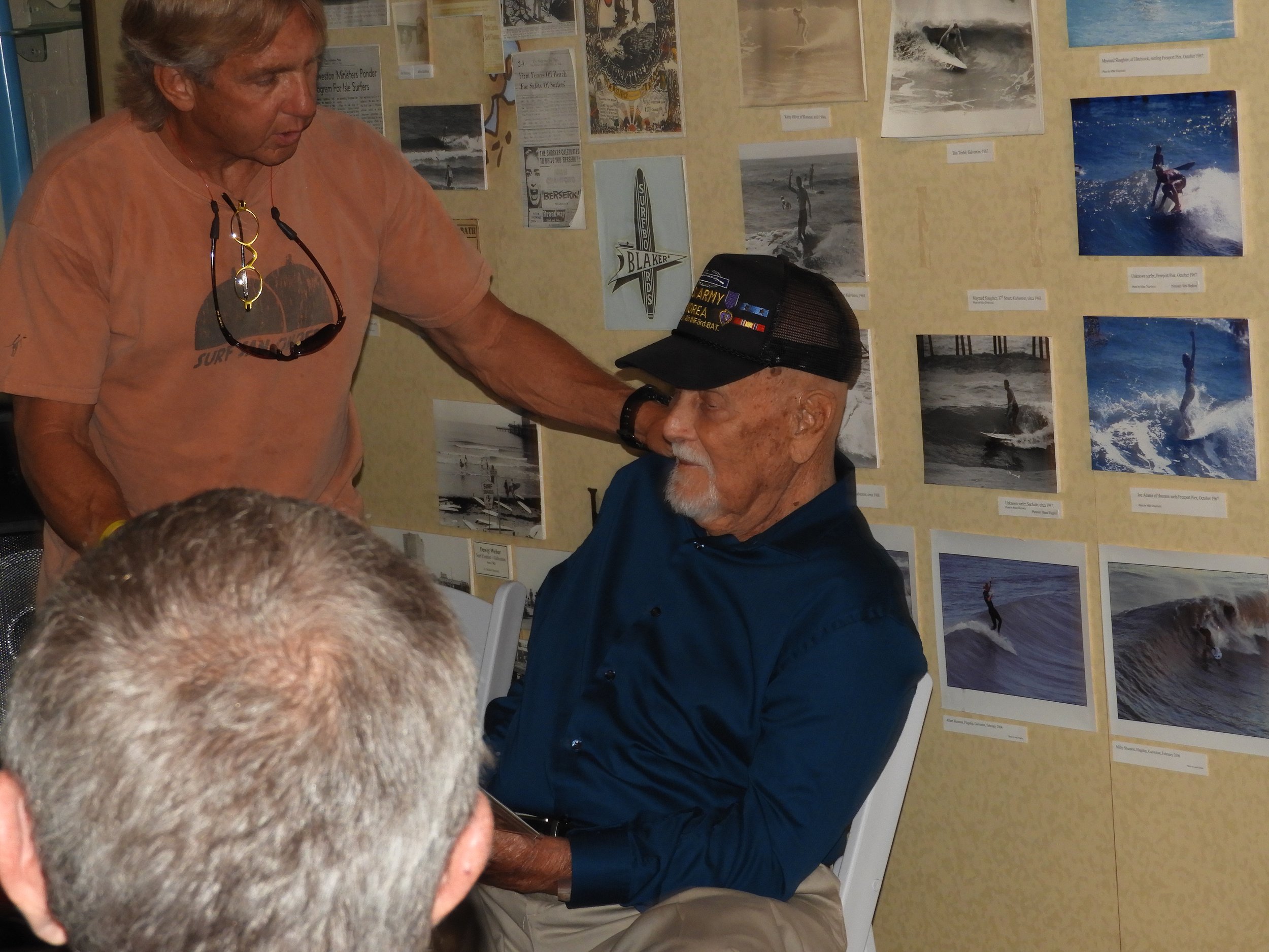
On the final days of July in 1970, a devastating storm swept over the Coastal Bend. The category 3 storm dubbed Hurricane Celia touched down in Aransas Pass at wind speeds estimated around 125 mph. Hurricane Celia left great devastation behind in its path, costing the lives of 15 Texas citizens and earning the title of “most costliest” tropical cyclone in Texas History until Hurricane Alice in 1983. Though much was lost in the wake of Celia, several stories of extraordinary human triumph rose from the rubble. This gallery of photos originates from a recounting of one man’s experience surviving Hurricane Celia. The veteran and boat captain, pictured in this gallery alongside meteorologist and Texas politician Maclovio Perez and other research scientists in Corpus Christi, retold the story of his survival amidst the storm; stranded in the water and unable to access safe shelter, the boat captain shielded himself in his boat until he reached a safe point of escape. His presence in the Aransas Pass marina was essential to further tropical cyclone research, as it allowed for institutes like the Coastal Dynamics Lab to find resources such as photos of the marina completely emptied by the force of Hurricane Celia. Without these tales of human perseverance, there would be little to say about Celia besides the devastation this stormed wrecked on the Coastal Bend. At CDL, documentation of severe weather events allows our researchers to develop models and procedures for risk evaluation in the future, preventing future loss at the magnitude caused by Celia.
New Article!
A new article, FogNet: A multiscale 3D CNN with double-branch dense block and attention mechanism for fog prediction, will be published by Elsevier in the September 15, 2021 volume of the Bulletin of the Machine Learning with Applications journal.

Abstract: The reduction of visibility adversely affects land, marine, and air transportation. Thus, the ability to skillfully predict fog would provide utility. We predict fog visibility categories below 1600 m, 3200 m and 6400 m by post-processing numerical weather prediction model output and satellite-based sea surface temperature (SST) using a 3D-Convolutional Neural Network (3D-CNN). The target is an airport located on a barrier island adjacent to a major US port; measured visibility from this airport serves as a proxy for fog that develops over the port. The features chosen to calibrate and test the model originate from the North American Mesoscale Forecast System, with values of each feature organized on a 32 × 32 horizontal grid; the SSTs were obtained from the NASA Multiscale Ultra Resolution dataset. The input to the model is organized as a high dimensional cube containing 288 to 384 layers of 2D horizontal fields of meteorological variables (predictor maps). In this 3D-CNN (hereafter, FogNet), two parallel branches of feature extraction have been designed, one for spatially auto-correlated features (spatial-wise dense block and attention module), and the other for correlation between input variables (variable-wise dense block and attention mechanism.) To extract features representing processes occurring at different scales, a 3D multiscale dilated convolution is used. Data from 2009 to 2017 (2018 to 2020) are used to calibrate (test) the model. FogNet performance results for 6, 12, and 24 hour lead times are compared to results from the High-Resolution Ensemble Forecast (HREF) system. FogNet outperformed HREF using 8 standard evaluation metrics.