
Projects
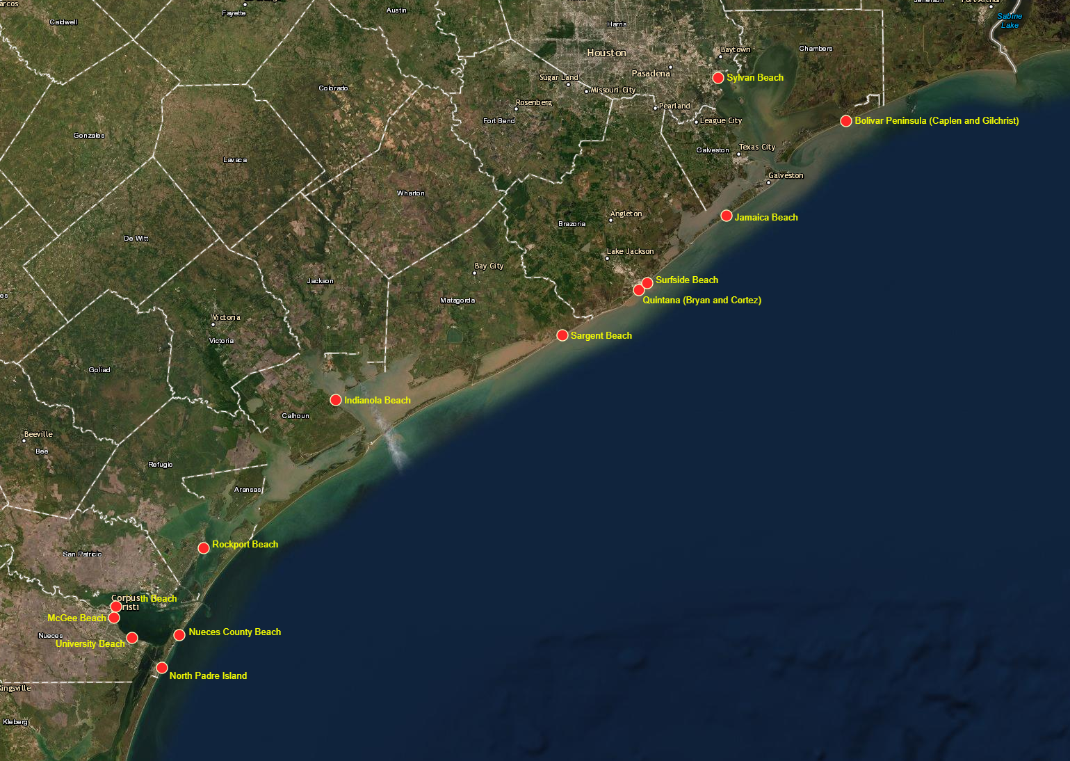

COASTAL HABITAT RESTORATION GIS (CHRGIS)
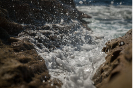
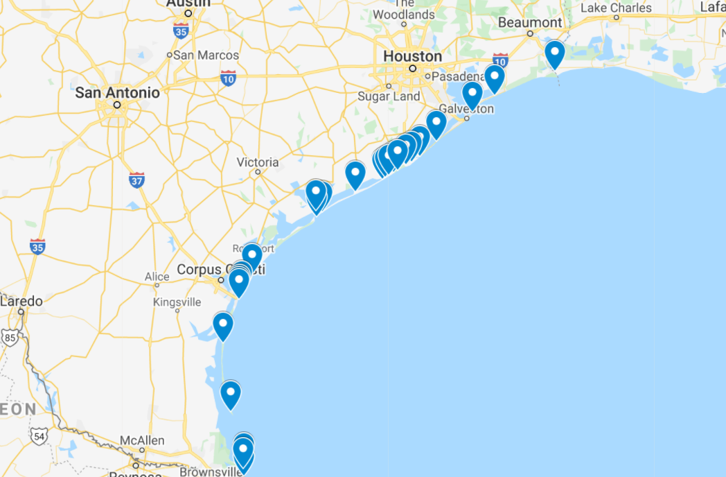
CHRGIS provides a repository for survey data and aerial photography for beach restoration sites located along bay and Gulf shorelines. In addition to beach nourishment (adding beach quality sand to the beach) some beach restoration projects include dune construction, planting of vegetation (to stabilize the dune) and shore protection (coastal structures such as groins, articulated mats etc.). CHRGIS can be applied to demonstrate the inter-relationships between coastal processes, coastal structures, shoreline change and the performance of shore and habitat restoration projects along the Texas Coast. In addition, CHRGIS provides an accessible archive of pre- and post-storm survey data that is required to apply for FEMA emergency renourishment funding.
Sponsored by: Texas General Land Office, NOAA, TAMUCC

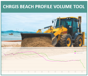
Coastal Erosion Planning & Reponse Act (CEPRA)
The purpose of the CEPRA Program is to implement coastal erosion response projects and related studies to reduce the effects of and to understand the processes of coastal erosion as it continues to threaten public beaches, natural resources, coastal development, public infrastructure, and public and private property.
Sponsored by: Texas General Land Office, NOAA, TAMUCC

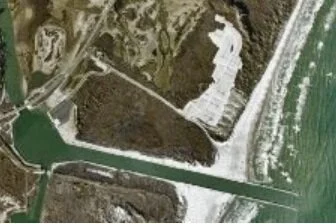
PACKERY CHANNEL MONITORING PROGRAM
The Conrad Blucher Institute’s Packery Channel Monitoring Program is tasked with monitoring the channel dynamics at seasonal intervals in the support of research-based management by the City of Corpus Christi.
Sponsored by: City of Corpus Christi, U.S. Army Corps of Engineers
Texas Inlets Online (currently not funded)
The Texas Inlets Online (TIO) website provides a comprehensive information dissemination access point for those interested in inlets along the Texas coast.
Sponsored (previously) by: City of Corpus Christi, U.S. Army Corps of Engineers