

PROJECT ARCHIVE

“CBI, in collaboration with Corpus Christi Weather Forecasting Office’s senior forecaster, Waylon Collins, is developing a model to predict the timing and location of thunderstorms. The model was presented at several AMS conferences and work is ongoing to develop an operational prototype.”
“Hydrodynamic models are an efficient, comprehensive approach to representing coastal water dynamics. These numerical computational models can be used to simulate currents, water levels, sediment transport and salinity. Our first model was a large scale, low resolution model used to simulate water levels across Corpus Christi Bay, Copano Bay, Aransas Bay and Upper Laguna Madre. Recently, we have been working on implementing a methodology to verify hydrodynamic model inundation predictions through the use of remote sensing and GIS techniques.”


“Weather On Wheels goes beyond apps which direct drivers from point A to B. This new app, http://www.weatheronwheels.com, will help you plan your drive and compare routes according to the predicted weather along your route from start to destination. If there is a bad storm predicted on your route, the app will let you know if the weather conditions improve by changing your start time and/or route. The app accesses gridded forecasts from the National Weather Service and combines this information with Google directions.”
“This project’s goal is to use mobile technologies to make these predictions easily accessible to the Houston-Galveston ship pilots. Hydrodynamic predictions are combined with information provided by the pilot to predict ship travel along the channel. The app includes several displays including currents and water levels at the present or a future time and predictions along the channel at the predicted time of the ship’s passage.”
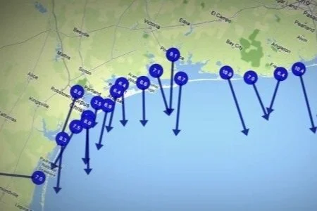
“The Conrad Blucher Institute (CBI) has recently implemented the Texas Coastal Winds app. This phone app utilizes wind measurements collected by the TCOON network to provide users with real-time wind speeds and directions relative to their location.
The coastal wind measurements are updated every 6 minutes, providing users with the latest conditions. Additionally, this data can be viewed using one of three units: miles/hour, meters/second, or knots.”
“A prediction model for the Corpus Christi Caller Times newspaper readers and the Coastal Bend public. These predictions could have been used to help schedule your fishing trips. The predictions were implemented for three stations around Coastal Bend.
This site contained water level predictions at three locations in the Coastal Bend: on the coast (Bob Hall Pier), in Corpus Christi Bay (Ingleside) and in the Upper Laguna Madre (Bird Island Basin).”
